Digitize 3D assets like never before
with GeoCue’s drone LiDAR system and software
TrueView™ Survey Grade Sensors
Equip your drones with GeoCue’s LiDAR/Camera systems created for geospatial professionals. Easily automate the generation of true 3D colourized point clouds, oblique imagery, and orthophotos from a single drone flight. The TrueView™ product series uses a common hardware and software foundation for a family of sensors.
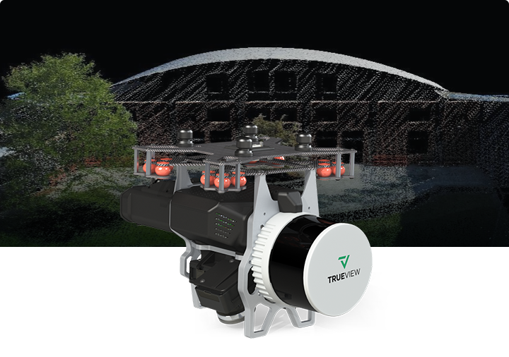
TrueView 535 3DIS
The TrueView535 builds upon the success of our best-selling TrueView515. We've added a third LiDAR beam return to improve vegetation capture detail, a third nadir camera to improve photogrammetry deliverables, and a longer usable LiDAR range to increase flexibility.
Featured Applications
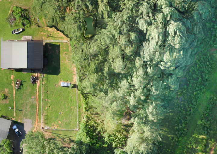
Densely Vegetated Topography
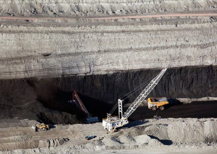
Coal Pile Inventory
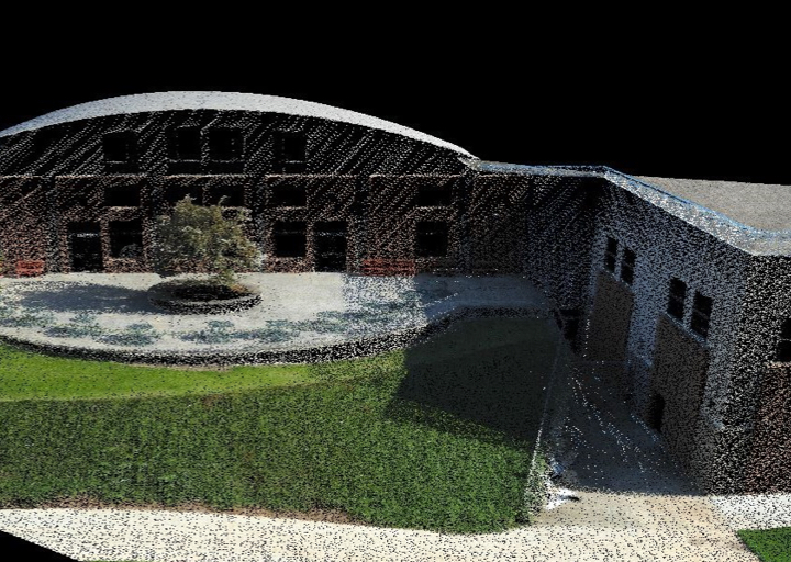
Vertical Structures
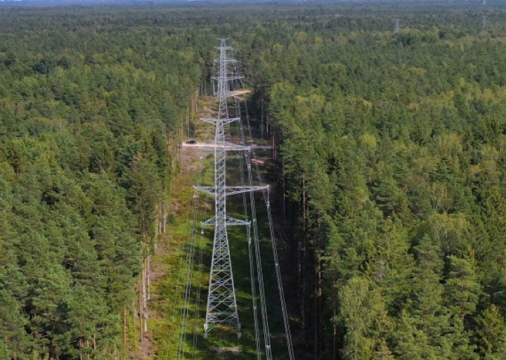
Wire Extraction - Distribution
What's Included
TrueView 535 3D LiDAR Payload
TrueView Battery and Battery Charger
USB Thumbdrive
GNSS Antenna
Sensor Hardcase
Accuracy Star
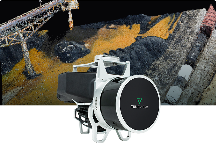
TrueView 515 3DIS
GeoCue's TrueView 515 is simply the best-performing LIDAR/Camera system in the mid-price range. This compact 3D Imaging System has impeccable definition along wires, superior ground cover beneath vegetation and sensitivity like we’ve never seen in this class system.
Featured Applications

Densely Vegetated Topography

Coal Pile Inventory

Vertical Structures
What's Included
TrueView 515 3D LiDAR Payload
TrueView Battery and Battery Charger
USB Thumbdrive
GNSS Antenna
Sensor Hardcase

TrueView 435 3DIS
GeoCue’s TrueView 435 is our next-generation compact 3D Imaging System that has the sensitivity needed for infrastructure mapping. In addition, its superior ground capturing capabilities for lightly vegetated areas make this the most economical platform for utility grade mapping.
Featured Applications
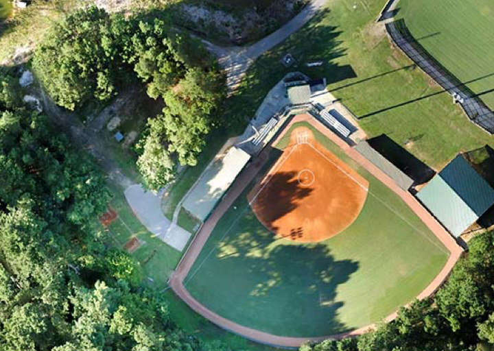
Visualization
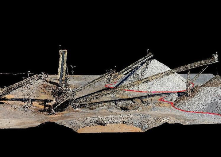
Volumetrics
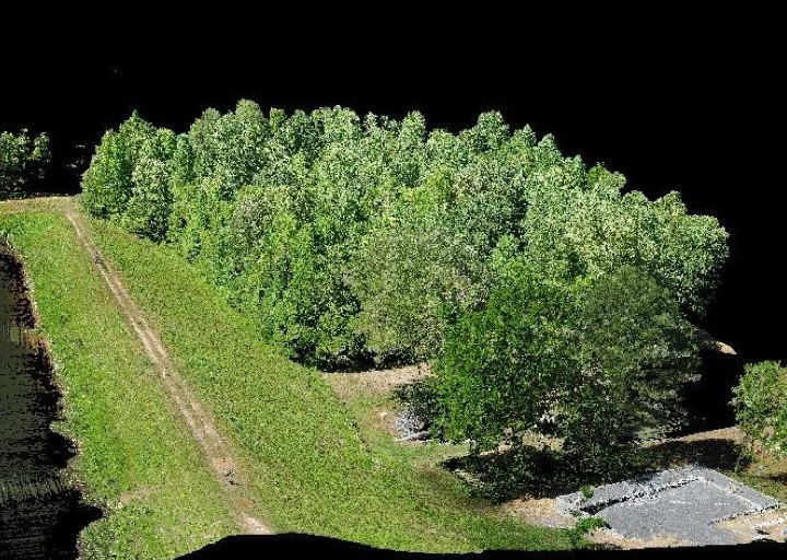
Sparsely Vegetated Topography
What's Included
TrueView 435 3D LiDAR Payload
External Power Adaptor
TrueView Battery and Battery Charger
USB Thumbdrive
GNSS Antenna
Sensor Hardcase
Learn more about GeoCue's LiDAR system!
LP360 Drone Software
LP360 Drone is the core software product for drone geospatial data workflow. Transform your LiDAR and imagery data with visualization, quality check, classification, 3D editing, and analysis capabilities. This powerful software helps you process, analyze, and maximize drone survey data, producing valuable information and deliverables.
CREATE POINT CLOUDS FROM UAV RAW DATA
Transform and quality control LiDAR and image data collected from your drone survey equipment.
PROCESS, ANALYZE, and EXTRACT VALUE
Use an extensive toolbox of geospatial tools for deriving products that serve multiple industries and applications.
PUT YOUR DATA TO WORK
Deploy your accurate and fully processed data into actionable results or share with customers.
High-Quality Deliverables from LP360 Drone
CONTOURS
AUTOMATIC GROUND CLASSIFICATION
VOLUMETRIC ANALYSIS
DIGITAL ELEVATION MODELS
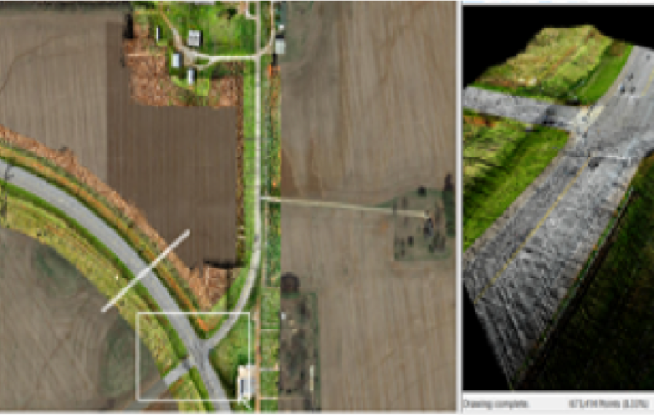
CROSS SECTIONS
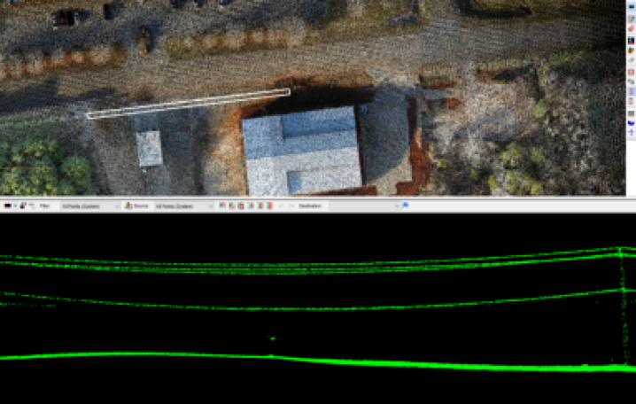
TRANSMISSION LINE MODELING


