BUILD BETTER REALITY wearable mobile mapping systems
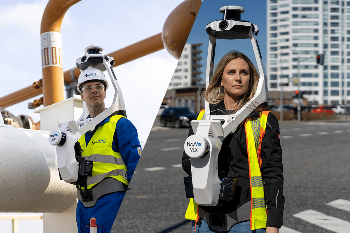
Harness the power of state-of-the-art SLAM technology and groundbreaking software with the NavVis VLX wearable mobile mapping solutions. Empower yourself as a surveying and reality capture professional to capture precise data, effectively visualize it, and seamlessly integrate it into your existing workflows.
NavVis VLX will revolutionize your project efficiency by significantly reducing total labor time through fast, versatile, and highly accurate scanning of everything from intricate indoor spaces to expansive construction sites
Now available at Cansel - the NavVis VLX 2 and NavVis VLX 3
Experience the power of the NavVisVLX family, offering two revolutionary mobile mapping systems. Find the ideal NavVis solution for your business needs.
NavVis VLX 3
NavVis VLX 3 is the industry-leading, wearable mobile mapping system that delivers comprehensive, highly detailed reality capture data to laser scanning professionals for complex sites, both indoor and outdoor.
Project complexity
Mapping and/or heavy engineering tasks with a requirement for high detail at range, increased coverage for verification, and 3D modeling of the built environment.
LiDAR
Layers - 32
Speed - Up to 1.280.000 pts/s
Field of View - 40°
Range - Up to 200 m
Other Specifications
Accuracy - 5 mm
Weight - 8.5 kg
Battery Life - 1.5 hours
TSA Approved - Yes
IP Rating - IP 42
Hardware
NavVis VLX 2
NavVis VLX 2 is the industry-trusted wearable mobile mapping system for laser scanning professionals requiring fast, accurate, affordable reality capture. Proven up to 10x faster than a terrestrial scanner.
Project complexity
Mapping and/or engineering tasks focused on 2D deliverables and 3D model creation with highly-detailed point clouds that include colour and realistic texturing.
LiDAR
Layers - 16
Speed - Up to 600.000 pts/s
Field of View - 30°
Range - Up to 100 m
Other Specifications
Accuracy - 6 mm
Weight - 8.7 kg
Battery Life - 1.5 hours
TSA Approved - Yes
IP Rating - IP 42
Hardware
Resources
Insights Into Building Better Reality With NavVis
Discover the most up-to-date insights on NavVis right here. Explore how it can enhance your efficiency, productivity, creativity, and streamline your workflow. Get comprehensive information to compare the NavVis VLX 2 and the NavVis VLX 3, empowering you to make an informed decision on the model that best aligns with your business needs.
Effortless Integration of NavVis Scans into TBC workflow
This informative webinar playback teaches topographic workflow from field to finish: scan with NavVis , then create finished topographical deliverables with the right Trimble Business Center module.
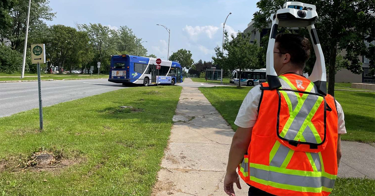
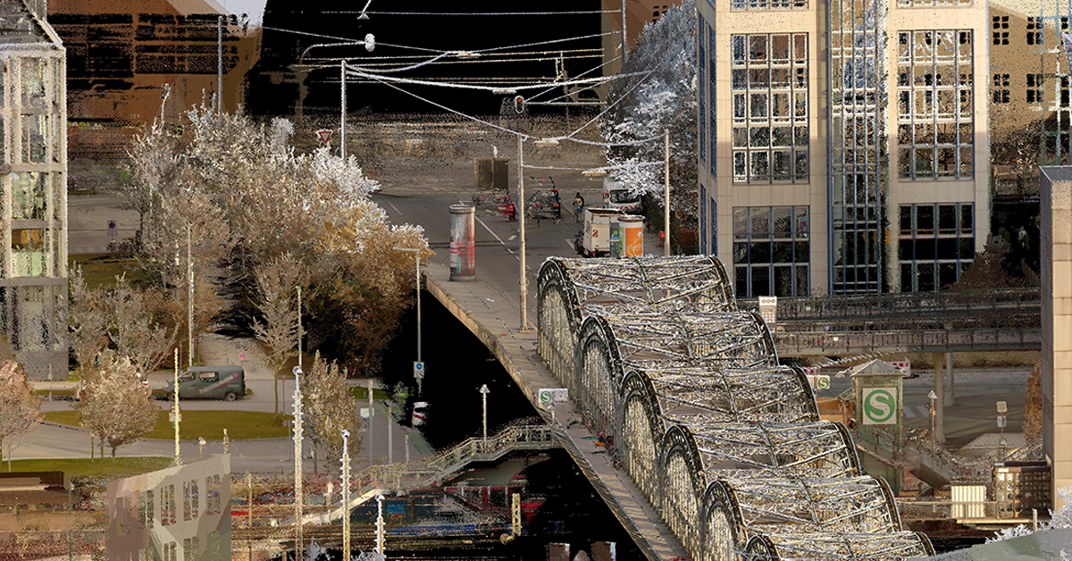
NavVis VLX 2 and 3 in an Open Urban Environment
This report compares NavVis's mobile mapping systems, VLX 2 and VLX 3, in an open urban environment, gauging their precise, high resolution, efficient surveying performance and reliability in variable conditions
Talk to an expert at Cansel about the NavVis VLX product that’s best for you.


