Radiodetection and Trimble Access
Locate confidently and avoid the risk of errors!
The power to do more
Do more, better, faster with the range, accuracy and short scan times you need to boost productivity.
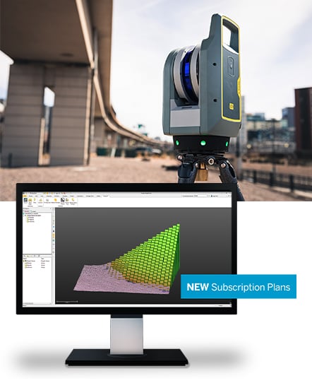
That’s the power of the Trimble® X9 laser scanning system. Capture reality in minutes for a job done right the first time.

Proven
Built upon innovative and trusted Trimble technology.
Versatile
Performance and function to meet changing project requirements.
Reliable
Ease of use with dependable data and robust design for demanding environments.
Trimble Perspective
The powerful Trimble Perspective software provides unparalleled performance with intuitive field workflows for full project visibility.
Trimble RealWorks
Realworks™ software provides a solution to efficiently register, analyze, model, and create deliverables using data from any source.
Trimble Business Center (TBC)
Work with scan data using TBC scanning module and use automated tools for classification, feature extraction and CAD deliverables.
Trimble X9 3D laser scanner features
—
Dependability
- Self calibrating for dependable data every scan.
- Survey grade self leveling for fast, easy setup.
- IP55 environmental protection against dust and water.
- Wide operating temperature range to keep you working all year long.
Performance
- Fast scan times of less than 1 minute can be reached for fast project completion.
- 150 m range to put more projects within reach.
- High accuracy and low range noise point cloud data for detailed digital twins.
Versatility
- High speed scanning up to 1 million pts/s.
- Better range, angular accuracy and data quality to support a wider range of applications.
- Enhanced sensitivity for standard scans to capture difficult dark or shiny surfaces.
- Flexible operation with tablet, phone, or one-button workflow.
Trimble Perspective Software
- In-field registration.
- In-field 3D data visualization.
- Georeferencing with laser pointer and precision point.
- Area scan for higher density on critical areas.
Locate underground assets with confidence using the most reliable precision technologies for fast and accurate measurements. Uncover hidden underground assets like cables and pipes using your RD8100 and RD8200 and effortlessly transmit depth information to Trimble Access for a seamlessly streamlined workflow.
Here’s how:
Connect Trimble Access to the Radiodetection utility locator to measure the location of underground assets such as cables and pipes. Simply use Trimble Access to measure a ground point using a GNSS receiver and use the connected utility locator to measure the depth of the cable or pipe and send the depth information to Trimble Access.
Visit the Trimble Access Help Portal for details.
Watch the Can-Learn video! Using Radiodetection RD8200 Locator with Trimble Access
Save up to $3,250 on our bundle offer
- SAVE $1,750 on Radiodetection RD8200 Pipe & Cable Locator Bundle
Includes: RD8200 locator, 10 W Tx transmitter, clamps, batteries, heavy-duty bag
- Get $1,500 online store credit when you exchange your existing Trimble TSC3 data collector for a TSC5/TSC7 with Trimble Access

